the Western Portion of North America
Library of Congress
http://www.loc.gov/exhibits/treasures/trr001.html
| Start > Expansion und Demokratisierung > Lewis & Clark Expedition, 1803 > Karte | |||||
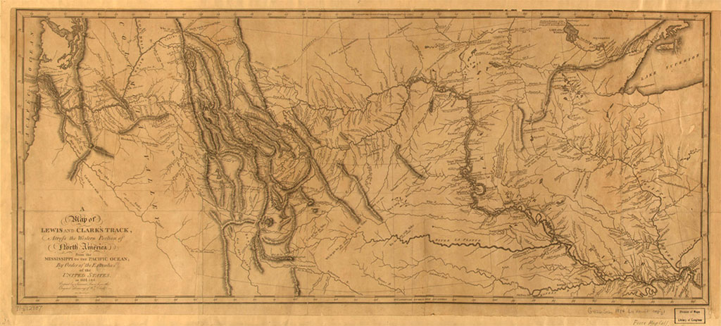
| Samuel Lewis: A Map of Lewis and Clark's Track Across the Western Portion of North America |
|||||
| Samuel Lewis: A Map of Lewis and Clark's Track Across the Western Portion of North America from Mississippi to the Pacific Ocean. Philadelphia: 1814. Printed map. Geography & Map Division. | |||||
|
|||||
| Quelle: Library of Congress http://www.loc.gov/exhibits/treasures/trr001.html |
|||||