GEOGRAPHY

The Volgograd region lies in the south-east of the Southern European Plain on the rivers Volga and Don. It borders on the Saratov region to the north, on Kasakhstan to the East, on the Astrakhan region and the Kalmyk Republic to the south, to the Rostov region to the south and west and to the Voronesh region to the north-west.

The region's surface area is 113,900 km², that is, almost as large as the German states of Bavaria and Niedersachsen together. The entire territory is divided into two geographical areas by the Volga: the first of these are the flat low-lands on the left bank, while the second is the hilly "Volga-Plateau" (up to 358 m high) on the right bank of Europe's longest river. Most of the region is covered by steppes (with a variety of grasses) and semi-arid areas. Forests (oak, acorn etc.) only cover about 4% of the territory.


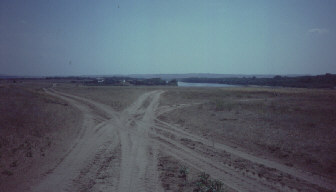
Roads through the steppe on the Don river


The region is dominated by a continental climate with a frosty winter with little snow and a hot, dry summer. The average temperature is -8°C to -12° C in January and 22°C to 24° C in July. The average annual precipitation can be approximated to 350 mm.

The region is inhabited by appr. 2,703,700 people (1996). 70% of these live in urban areas. The ethnic composition of the population is as follows: 89% Russian, 3% Ukrainian, 1.6% Kasakh, 1.1% German, 1% Tatar, and Belorussian 0.6%.

The region is rich in mineral resources. These include mineral oil and gas, mineral salts, and building materials. The main branches of the industry are the mining and processing of resources, machine-building (22% of Russia's tractor production), chemical processing as well as the production of clothing and food. The agriculture here is largely dominated by grain farming (all types of grain), vegetable farming (primarily focused on potatoes), and the planting of oil-plants. Animal breeding includes cattle, pigs, sheep and poultry.

Michael Orawski